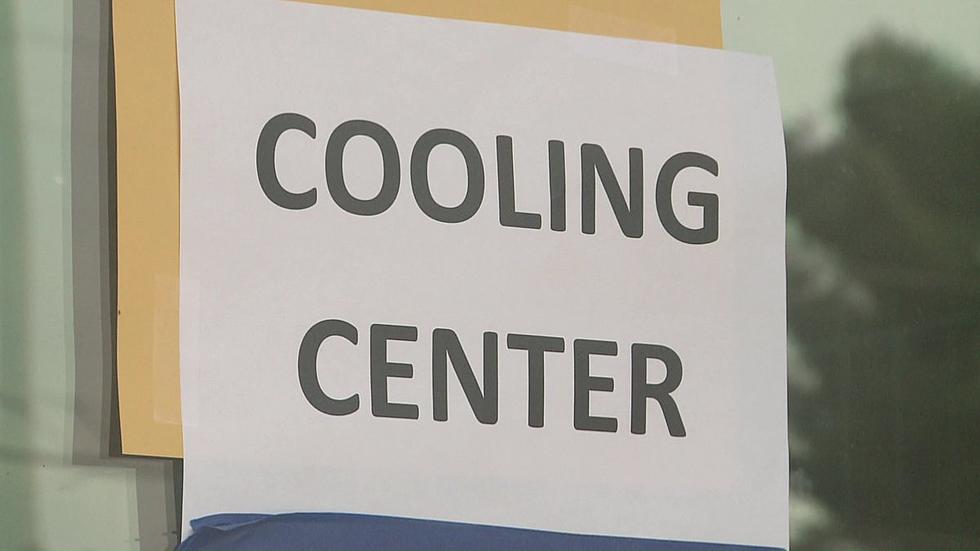

Hot Weather Coming To Wenatchee, NCW; Heavy Smoke Possible
The Wenatchee area as well as North Central Washington and the entire Northwest is about to see really hot weather, with temperatures at 20 degrees above normal by the weekend.
National Weather Service meteorologist Steve Bodnar says the weather pattern is coming from an area of very strong high pressure.
"What we call a ridge of high pressure is going to be building up along the coast, and then centering over the Pacific Northwest and southwest Canada," said Bodnar. "This feature is going to remain in place through the weekend and well into next week."
Bodnar says temperatures will remain near 90 or above from Sunday through Thursday of next week.
We could also see smoke from a high number of fires currently burning in Alberta, Canada.
Bodnar says the steering flow that's part of the upcoming warm weather pattern will send the smoke southward.
"Some of that smoke could start to trickle in as we get into more of an easterly flow pattern around that Monday time frame," Bodnar said. "That's something we're keeping an eye on. Could have some impacts. Hazy skies, some high-level smoke. Worst case scenario is a little bit thicker down towards the surface."
Meanwhile, last week’s mini heat wave in the region led to a quick melt off of snow in the 3,000-4,000-foot level, according to Bodnar.
That coupled with rain led to high water flow levels on area rivers. The dangerous conditions led to one death of a 46-year-old Cashmere man after a raft tipped over on the Wenatchee River last Thursday.
Bodnar says conditions have briefly subsided but will return with upcoming hot weather leading to a continued high rate of snow melting off in the Cascades.
Water temperatures continue to be especially cold. The Wenatchee River was 46 degrees early Tuesday morning.
More From Kissin' 97.7