
2 Days of Record Heat, Now 2 Days With Red Flag Warnings
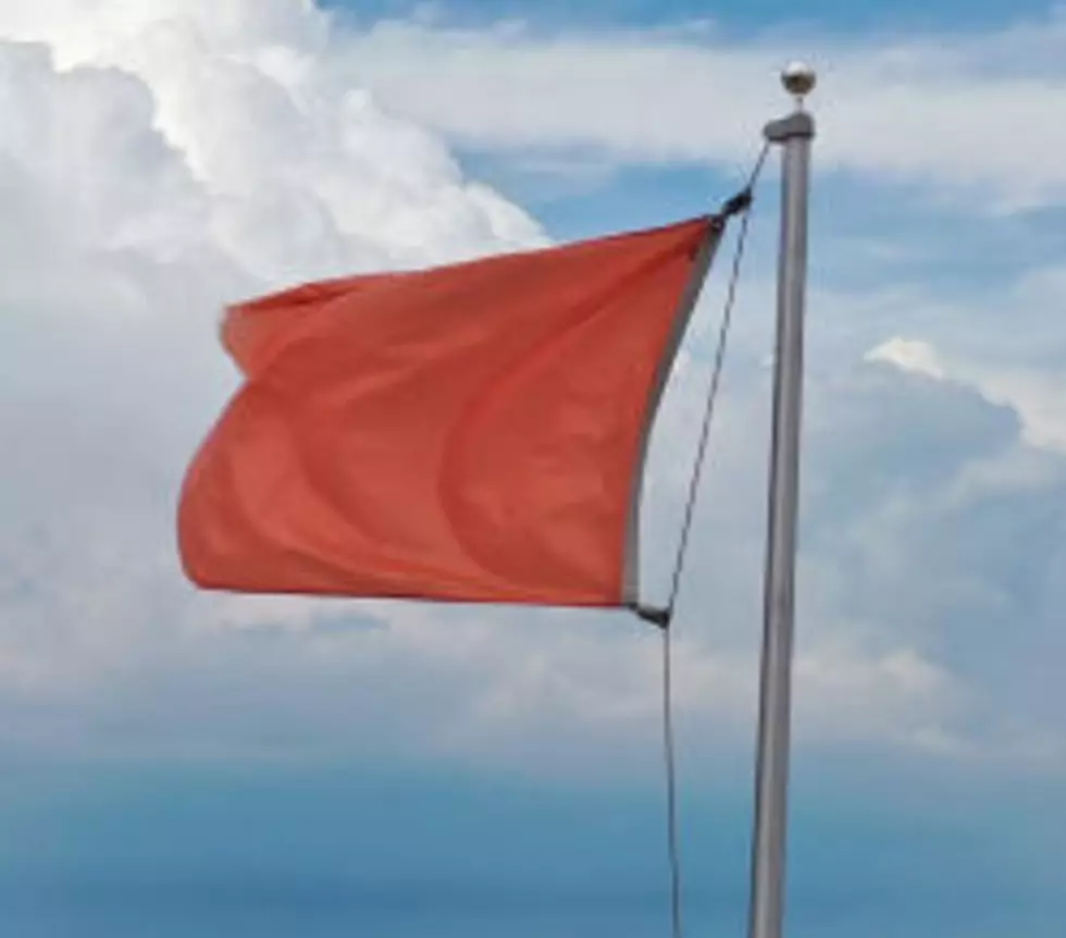
There are now two separate Red Flag Warnings coming to the region today and tomorrow.
National Weather Service Meteorologist Rachael Fewkes says winds are picking up today ahead of a change in the weather, which is bringing elevated fire danger.
“Today is when the winds are expected to start picking up,” Fewkes said. “There’s gusts of 25 to 30 miles-per-hour expected throughout eastern Washington.”
Fewkes says the system moving into the region tomorrow will bring cooler weather and more fire danger.
"Winds are going to pick up with that, so the vegetation being really dry from the hot weather, and then this windy cold front moving through, any fires that start are just going to burn really easily and spread quickly," said Fewkes.
The current heat wave brought a record high of 104 Tuesday and a record tying high of 103 yesterday.
Fewkes says the weather will stay cooler into next week, and weather service models for 8-14 days out don’t show a return of any especially hot weather the region has been experiencing over the past several days.
Further out still, the Weather Service Climate Prediction Center is forecasting warmer than normal weather for the month of September, but also above normal precipitation.
Fewkes cautions that weather service models that far into the future can change.
The current Excessive Heat Warning for all of Washington east of the Cascades ends at 11pm tonight.
A Red Flag Warning is in place for the same land mass from 10am-9pm today.
The second Red Flag Warning will be in effect for the same region from the Cascades eastward from 10am-9pm tomorrow.
More From Kissin' 97.7


